Eos® Laser Mapping Integration
Eos Positioning Systems, Inc.® (Eos) is the world’s leading provider of GPS/GNSS receivers for the Bring Your Own Device (BYOD) market and first to integrate with Esri® ArcGIS® Field Maps that allows for laser offsets. Eos brings you affordable, high-accuracy Bluetooth® GPS (GNSS) location to any smart device and provides submeter, subfoot, and centimeter accuracy.
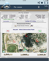 Eos Tools Pro
Eos Tools Pro is a monitoring utility for the Arrow Series™ receivers from Eos®. Eos Tools Pro provides advanced GNSS information such as RMS values, PDOP, Differential Status, Satellites Tracked and Used, that are critical for submeter and centimeter GIS and Surveying data collection. It is also what makes laser mapping possible within the Esri ArcGIS® Collector app.
RTK Laser Mapping With ArcGIS® Collector Brochure
RTK Laser Mapping
Enhance your ArcGIS® Field Maps workflow efficiency with laser integration and maintain RTK-level accuracy where you traditionally have not been able to before. Help eliminate mistakes by capturing accurate dimensional measurements and automatically entering them in as attribute data.
Watch the GNSS mapping webinar replay.
Laser Mapping Workflow Options
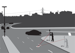 Range-Range
LTI Laser:TruPulse® 200X
Eos/Collector Workflow Steps:
- Occupy CP1 in safe area and position it with GNSS
- Aim and shoot remote features
- Occupy CP2 in a safe area and position it with GNSS
- Aim and shoot to remote feature
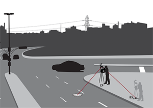 Range-Backsight
LTI Laser:TruPulse® 200X + TruAngle®
Eos/Collector Workflow Steps:
- Occupy BS point and record your position with GNSS
- Occupy CP2 and record your position with GNSS
- Aim and shoot position to BS
- Aim and shoot to remote features
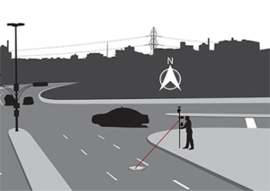 Range-Azimuth
LTI Laser: TruPulse® 360°
Eos/Collector Workflow Steps:
- Locate yourself in a safe place
- Record your position with GNSS
- Aim and shoot
- Manually enter
Eos Arrow Series™ Receiver
Eos Arrow Series™ receivers offers professional GNSS accuracy that is affordable and future-proof. Enjoy the flexibility of using your preferred hardware and software when integrating an Eos Arrow Series™ Receiver into your workflow. With 16 hours of battery life, ruggedized GNSS gear, SBAS, RTK, and Atlas®™ for real-time field corrections, and no time-consuming post-processing, the addition of an Eos Arrow Series™ receiver provided.
*Eos Arrow 100+ and Gold+ already contain Eos Bridge integration.
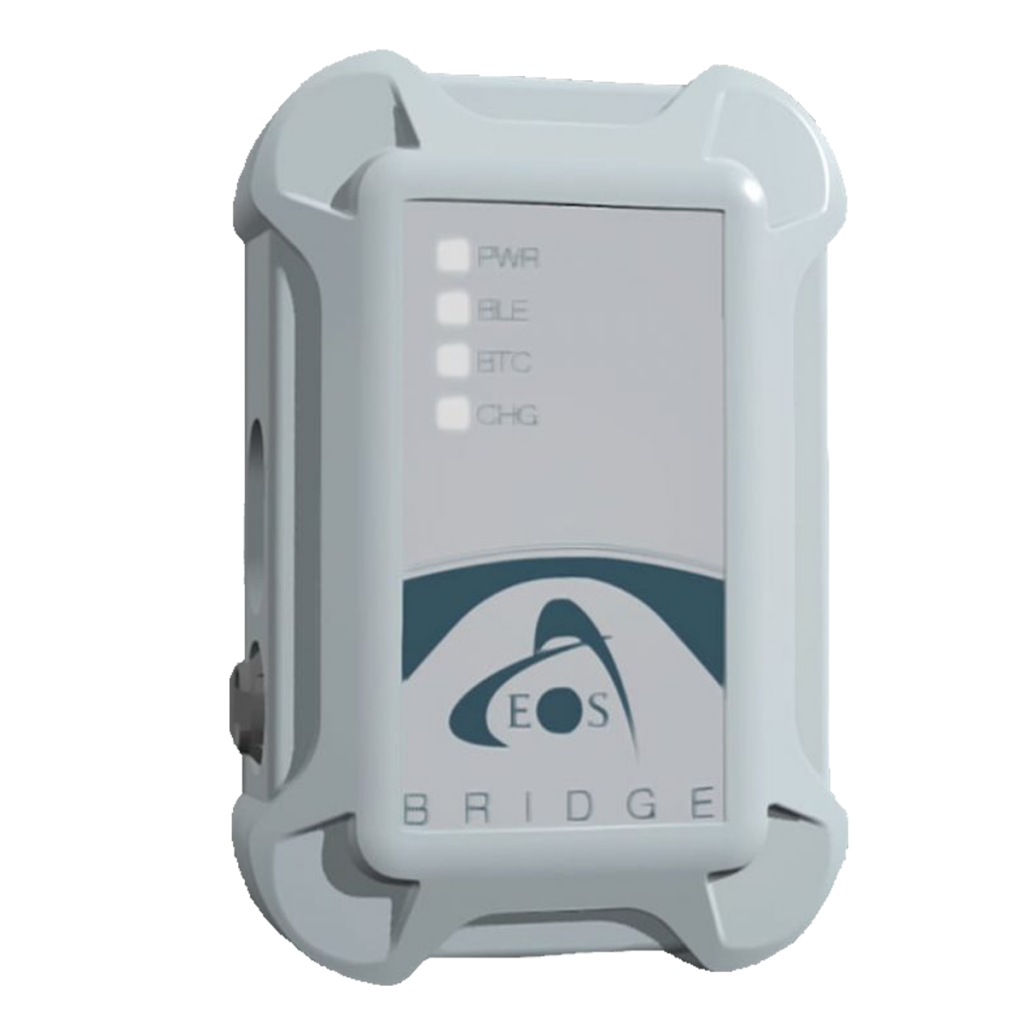 Eos Bridge™
Bluetooth® Connector for Third-Party Sensors
Are you ready to bridge the gap between GNSS, mobile mapping, and third-party professional instruments and sensors? The Eos Bridge is the world’s first device capable of making the connection between professional instruments and sensor interfaces to iOS + Android™ devices, and commercial smartphones and tablets. A Bluetooth® connector for mobile mapping teams, this device connects the already powerful combination or survey-grade accuracy from Arrow Series® GNSS receivers and mobile mapping from GIS apps.
